

The beginning
The Kent LiDAR Portal was designed and launched in 2020 by the Darent Valley Landscape Partnership Scheme (DVLPS), which is led by Kent Downs AONB and hosted by Kent County Council. The DVLPS is a 5-year project predominantly funded by the National Lottery Heritage Fund (NLHF) and the European Regional Development Fund’s Interreg 2 Seas scheme. The DVLPS was implemented in order to help conserve and enhance the distinctive heritage landscapes of the Darent Valley – an area rich in diverse habitats and with an impressive cultural heritage, though at risk from the increasing pressures of London expansion – and connect people to the valley in order to help conserve it.
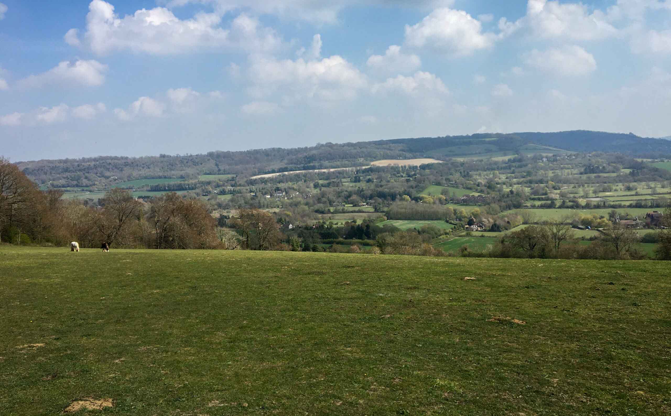
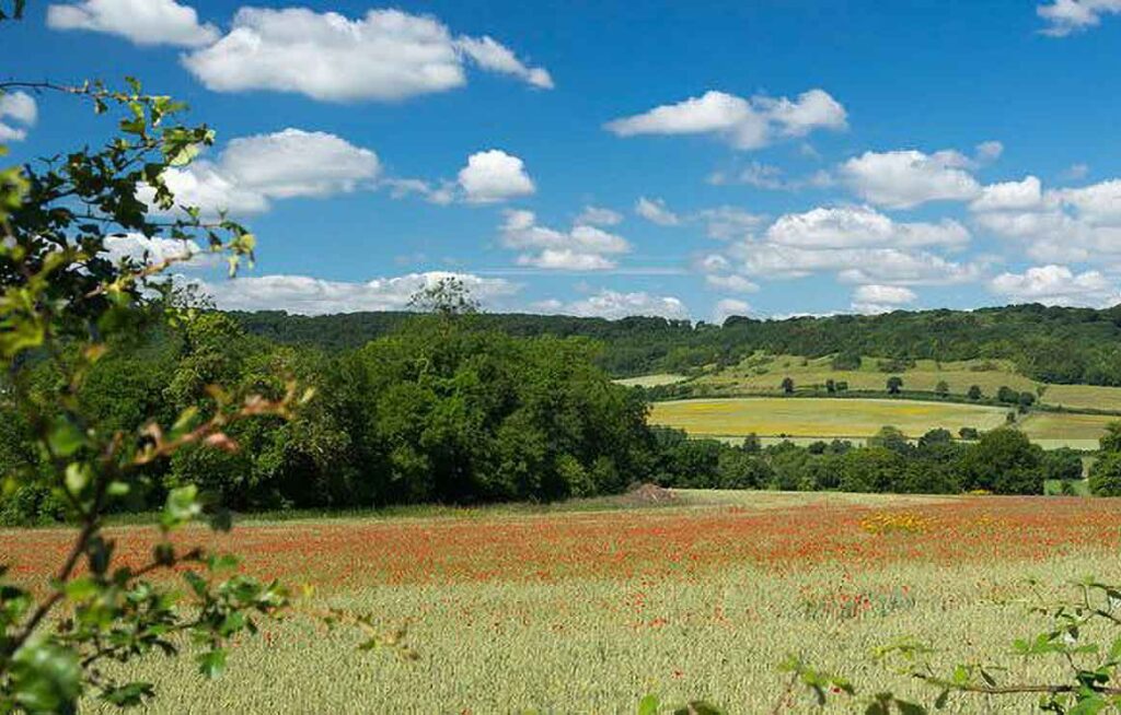
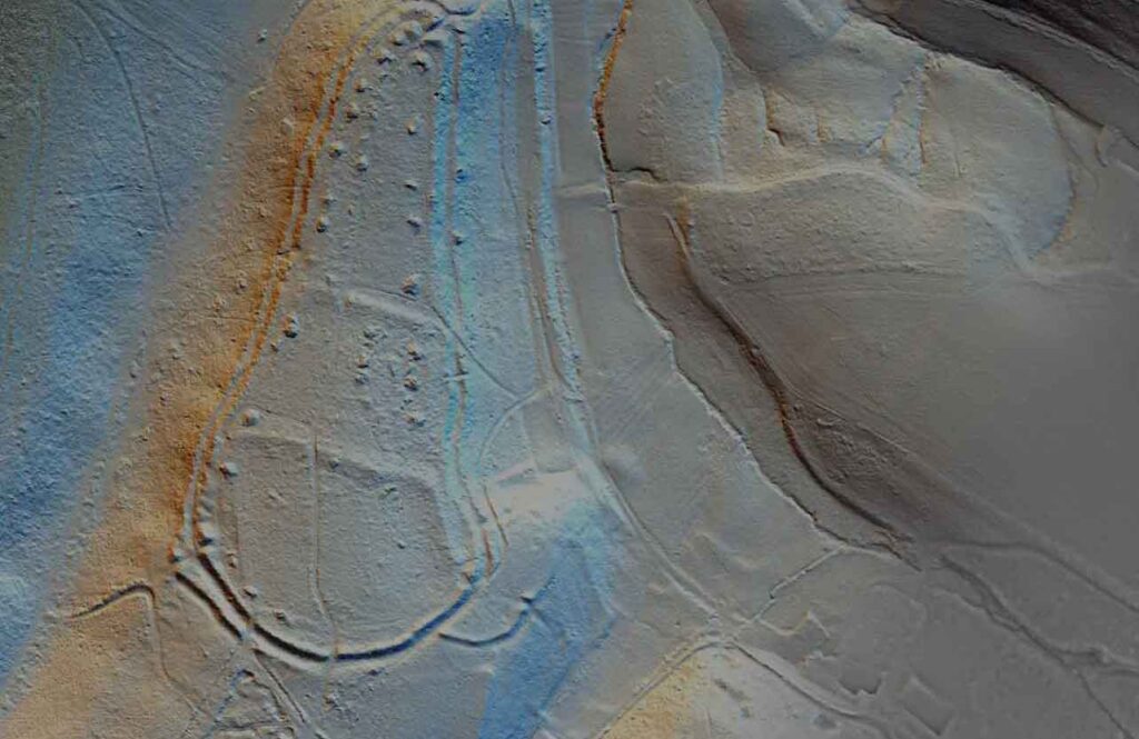
In order to better understand the development and various layers of history along the valley, the DVLPS commissioned a LiDAR survey which would provide detailed data able to be interrogated by heritage professionals, volunteer archaeologists, and interested members of the public alike. Additional funding from Sevenoaks District Council allowed the survey to extend and include the area of the Sevenoaks Commons, which has allowed both projects to benefit from the LiDAR data and hidden features which it helped reveal (you can read more about the survey here).
Present
Other datasets have since been added, including bespoke ones such as the Medway Valley, and most recently in 2023 the Environment Agency data for the entire county, thanks to funding from Defra’s Farming in Protected Lansdcapes (FiPL) scheme. We’re pleased that the Kent LiDAR Portal finally does cover all of Kent, which is an incredible legacy for the project to leave!
The LiDAR Portal is currently led by the Darent Valley Community Archaeologist, Dr Anne Sassin (anne.sassin@kentdowns.org.uk), with some areas – including the Sevenoaks Commons and Medway data – taken on by Andrew Mayfield, KCC Community Archaeologist (andrew.mayfield@kent.gov.uk).
To find out more about the DVLPS and their work, visit the website (email darent.valley@kentdowns.org.uk) or follow them on social media (@DVLPS on Facebook and @darent_valley on Twitter and Instagram).